
Tropical Depression Two forms in the Gulf, will bring heavy rain and coastal flooding
New Tropical System Develops in Gulf Waters, Forecast to Intensify
Formation and Expected Development
goldlaner.com – A new tropical depression has emerged in the northeastern portion of the Gulf of Mexico, and meteorologists anticipate it will deliver substantial rainfall alongside tropical storm-strength wind gusts to communities along the northern and eastern Gulf Coast over the coming days. Weather forecasters project that this system will strengthen into a tropical storm either later tonight or by Monday morning, at which time it will receive the name Tropical Storm Bertha.
Residents and visitors in affected areas should monitor updates closely as conditions evolve. The system’s development comes after a notable gap in Atlantic activity, marking the first named storm potential since mid-June when Tropical Storm Arthur briefly touched down near Galveston on the Texas coastline before quickly dissipating.
Atmospheric Investigation Underway
A specialized Hurricane Hunter aircraft is scheduled to penetrate the developing system on Sunday, collecting critical data about wind speeds, atmospheric pressure readings, and the broader weather environment surrounding the depression. This reconnaissance mission will help forecasters refine their predictions regarding the storm’s trajectory and intensity as it approaches the coast.
The information gathered during this flight will prove essential for determining whether the depression will achieve tropical storm status sooner than expected or if additional strengthening will occur as it moves closer to populated areas.
Projected Weather Impacts
Rainfall amounts are expected to be significant across the region. Widespread precipitation totals of two to four inches are forecast, with the possibility of reaching eight inches in the most intense thunderstorm cells. These heavier downpours could contribute to localized flooding, particularly in areas with poor drainage infrastructure.
Coastal communities should also prepare for elevated water levels. Storm surge measurements could climb one to three feet above normal conditions along Florida’s Big Bend coastline, stretching from Indian Pass through Chassahowitzka. This rise in water levels may affect low-lying areas and could combine with heavy rainfall to create challenging conditions for residents.
Wind conditions are expected to intensify as well. Tropical storm conditions are likely along the coastal regions, with gusts potentially exceeding forty miles per hour. The National Weather Service has issued a Tropical Storm Watch for the Florida Panhandle coastline, extending from the Ochlockonee River westward to the boundary between Florida and Alabama. Communities within this watch area should expect tropical storm conditions to develop within the next thirty-six to forty-eight hours.
Movement and Future Trajectory
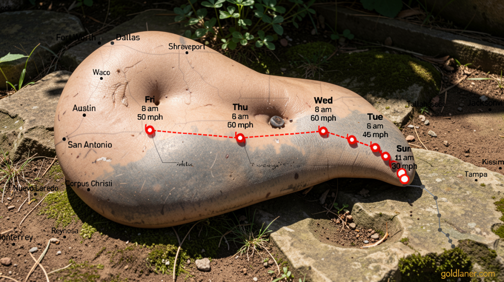
Current atmospheric patterns show very weak steering currents, which means Tropical Depression Two will continue its slow progression over the next several days, moving generally toward the north-northwest. Despite encountering some dry air that could temporarily hinder development, wind shear remains relatively light, creating favorable conditions for additional strengthening as the storm approaches the Gulf Coast regions of Alabama, Mississippi, and Louisiana by midweek.
Heavy rainfall associated with tropical rain bands moving onshore could trigger flash flooding events, particularly as the system’s center remains offshore while its outer bands deliver precipitation to land areas. Rainfall totals for the northeastern Gulf Coast extending to the western Florida peninsula are expected to range between two and four inches, with isolated pockets receiving up to eight inches.
Seasonal Context
The emergence of this system follows a period of relative quiet in the Atlantic Ocean Basin. More than a month has passed since the last named storm appeared in the region, highlighting the variable nature of hurricane seasons. NOAA meteorologists currently predict a below-average number of named systems for the Atlantic this season, a forecast influenced by the formation and strengthening of El Niño conditions in the Pacific Ocean. This climate pattern typically creates wind shear that suppresses tropical development in the Atlantic, though individual storms can still form and intensify despite these broader trends.
Residents across the affected regions are encouraged to download the CNN Weather app for real-time updates and to follow local emergency management guidance as the situation develops over the coming days.
