
Tropical Storm Bertha heads for final Gulf landfall as it fuels bigger flooding rain threat in the East
Bertha Brings Flood Threat to East Before Gulf Landfall
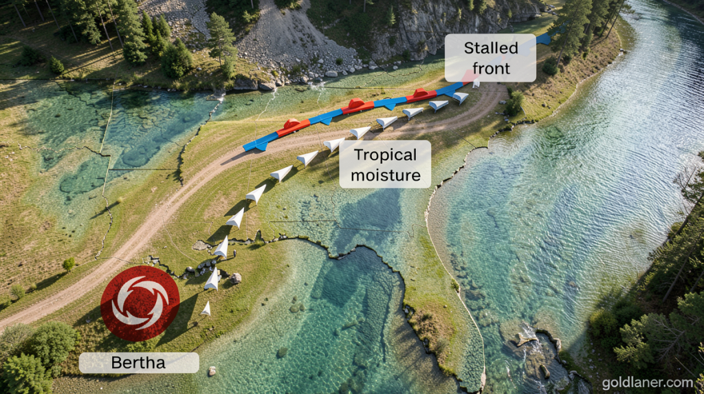
Goldlaner.com – Tropical Storm Bertha heads for final landfall along the Gulf Coast Thursday, but a more pressing concern is developing far to the east. The system, currently located south of southwest Louisiana with sustained winds of 45 mph, is channeling tropical moisture northeastward. This moisture is colliding with a stationary cold front stretching from southeast Virginia through the Carolinas and northern Georgia, setting up an extended period of heavy rain for eastern states.
Eastern Flood Risk Intensifies
While the storm approaches the Gulf, flooding concerns in the eastern U.S. are growing more serious. North Carolina has already received roughly a month’s worth of rainfall in just a few days, with more downpours expected. Flash flood alerts are now active across southeast Virginia, eastern North Carolina, and eastern Tennessee following substantial Thursday morning precipitation.
Flash flood warnings were also issued in north-central North Carolina, including Greensboro and Winston-Salem, Wednesday night, where heavy storms dropped up to 6 inches of rain in 12 hours.
Transportation was disrupted when flooding temporarily closed a section of Interstate 40 northwest of Durham, North Carolina, though the state’s department of transportation confirmed the roadway has since reopened. Interestingly, the north-central North Carolina region has not reported significant flooding despite the heavy rainfall. A combination of existing drought conditions and prolonged rather than intense precipitation has helped reduce flood risks in that area.
Gulf Coast Impact Expected
The storm’s path points toward the upper Texas coast by late Thursday afternoon or evening, with the system expected to move further inland across Texas before Thursday night concludes. The storm’s asymmetrical structure creates distinct weather patterns across different regions. Tropical storm-force wind gusts will primarily affect the upper Texas Coast and southwest Louisiana, while the majority of precipitation will fall across South Texas.
A tropical storm warning remains active for areas experiencing sustained winds of 39 mph or greater, extending from the upper Texas Coast—encompassing Galveston—down to south-central Louisiana. Residents in these zones should expect tropical storm conditions to develop Thursday. Meanwhile, areas farther south may receive between 2 and 4 inches of rainfall, with isolated locations potentially seeing totals reaching 6 inches through Thursday night.
Season Context and Extended Outlook
As the second named storm of the Atlantic hurricane season, Bertha arrives during what has been a relatively quiet start compared to recent years. El Niño’s influence continues to suppress storm development across portions of the basin. The moisture Bertha carries began moving into a slow-moving front across the Southeast and southern Virginia on Wednesday, establishing the foundation for the current flood threat.
Earlier Wednesday morning, storms produced flash flooding north of Knoxville, Tennessee, after accumulating up to 5 inches of rain within a few hours. Additional rainfall rounds are forecast through Friday. While the precipitation benefits drought-stricken areas in southern Virginia and North Carolina, repeated rainfall over the same locations within hours or days could rapidly escalate into dangerous flash flooding events.
Weather forecasters have designated a Level 3 of 4 risk for flooding rain across part of the Virginia-North Carolina border from Thursday into Friday morning. Afternoon thunderstorms could deliver rainfall rates approaching 2 inches per hour—an intensity capable of overwhelming urban drainage systems. Major metropolitan areas including Atlanta, Birmingham, Alabama, and Charlotte, North Carolina face elevated flood risks.
The flooding concern extends through Friday, with a Level 2 of 4 risk covering coastal North Carolina through South Carolina, northern Georgia, and northeast Alabama. Forecast models may upgrade portions of this Level 2 zone to Level 3 as predictions become more precise regarding the heaviest rainfall placement.
Bertha is projected to maintain tropical storm intensity until reaching the upper Texas coast late Thursday, then gradually dissipate over Texas by Thursday night or Friday. The CNN Weather app offers residents comprehensive storm forecasts as conditions evolve across multiple regions simultaneously.
