Rash of tornadoes tears through the Midwest, killing at least 2
Rash of Tornadoes Tore Through Midwest, Killing At Least 2
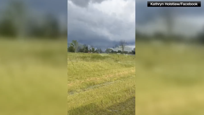
Rash of tornadoes tears through the Midwest – Severe weather has intensified across the Midwest, with a wave of tornadoes causing destruction and loss of life. On Sunday evening, a cluster of supercell thunderstorms swept through the region, generating over 30 confirmed tornado reports. These storms, which moved eastward toward the Ohio Valley, added to a string of severe weather events that have plagued the central United States in recent weeks. The pattern of devastation continued as the previous week’s storms had already left a trail of collapsed structures and widespread damage.
Fatalities and Damage in Jefferson County, Illinois
In rural Jefferson County, Illinois, two lives were lost during Sunday’s storms. County Sheriff Jeff Bullard confirmed that the fatalities occurred in separate mobile homes, both of which were destroyed approximately two to three miles apart. The incident took place about 90 miles southeast of St. Louis, highlighting the vulnerability of mobile housing to extreme weather. Beyond the tragic loss, a third home was completely leveled, and five individuals were hospitalized with non-life-threatening injuries. According to Deputy Emergency Management Coordinator Keith Hertenstein, the storms damaged at least 20 properties in the county, leaving many residents without power as trees and power lines were felled.
“The tornadoes hit with such force that they obliterated homes and left communities in disarray,” said Hertenstein. “Residents are still assessing the full extent of the damage, and recovery efforts are just beginning.”
Tornadoes in Southern Indiana
Southern Indiana also bore the brunt of the storm system, with several residences being “completely obliterated,” as reported by Gibson County Sheriff Bruce Vanoven. The destruction spread across multiple towns as the storms moved eastward, creating a chaotic scene for emergency crews. Vanoven emphasized that the area remained at risk even after the storms passed, urging residents to stay indoors due to the presence of downed power lines and debris that could be difficult to navigate in the dark. The situation was particularly dire in Warrick County, where a retirement community suffered significant damage. Sheriff Mike Wilder of Warrick County informed CNN that two roofs collapsed at Park Place Apartments, trapping a woman who was later rescued by emergency personnel. She and two others sustained minor injuries but declined medical attention at the scene.
“The retirement community was hit hard, and the storm’s impact is still being felt,” Wilder noted. “Residents are advised to remain cautious as the area continues to recover.”
Weather Patterns and Storm Evolution
The tornado outbreak was fueled by a combination of atmospheric conditions. Sunday’s storms developed along the remnants of earlier frontal boundaries, which had left the air unstable and prone to rapid rotation. As heat and humidity returned during the afternoon, the environment became increasingly conducive to severe weather. This led to the formation of supercell thunderstorms capable of producing tornadoes, large hail, and damaging winds. The National Weather Service in Norman issued a warning that wind gusts reached speeds exceeding 80 mph in western Oklahoma, just after midnight CT Monday morning. The service described the situation as “a life-threatening scenario with tornado-like wind speeds,” underscoring the danger posed by the storm system.
Future Threats and Regional Impact
The storm system is expected to continue its eastward journey, affecting the mid-Atlantic and Appalachian regions on Monday. While the primary concern will be damaging wind gusts, the possibility of tornadoes cannot be ruled out. The National Weather Service has classified the risk of severe thunderstorms at Level 2 out of 5, indicating a significant likelihood of dangerous conditions. Additionally, heavy rain is forecast for Sunday night into Monday, raising the flood risk to Level 3 on a scale of 4. This elevated threat is compounded by the fact that repeated rounds of storms over the past two weeks have already saturated the ground, increasing the potential for flash flooding in the Central Plains, Mississippi Valley, and Ohio Valley.
“The same system that caused chaos in the Midwest is now moving toward the East Coast,” said the National Weather Service. “We are monitoring the situation closely and advising residents to prepare for additional severe weather.”
Broader Implications of the Storm Sequence
The recent series of tornadoes has not only caused immediate damage but also raised questions about the frequency and intensity of such events. Weather experts note that the clustering of storms over a short period suggests a highly active weather pattern, which may be influenced by broader climatic factors. While no direct link to climate change has been established, the increasing number of severe weather outbreaks in the region has sparked discussions about long-term atmospheric shifts. Residents in affected areas are now facing the dual challenge of repairing their homes and dealing with the aftermath of disrupted utilities and transportation networks. Emergency services have been working tirelessly to assess damage and provide aid, but the scale of the crisis remains daunting.
As the storm system moves, its path has already left a mark on multiple states, with Jefferson County and Gibson County among the hardest-hit. The destruction in these areas serves as a stark reminder of the power of nature and the need for preparedness. With the threat of further storms on the horizon, officials are calling for vigilance, particularly in regions where the risk of severe weather persists. The National Weather Service continues to monitor the situation, issuing updates as new developments emerge. For now, the Midwest remains in the crosshairs of this relentless weather pattern, with communities striving to recover from the devastation.
This is a developing story, and additional updates are expected as the situation unfolds. CNN’s Amanda Musa contributed to this report, providing real-time insights into the storm’s progression and impact. The combination of tornadoes, flooding, and damaging winds has created a complex scenario for residents, highlighting the interconnected nature of weather events and their far-reaching consequences. As the region braces for the next round of storms, the focus remains on ensuring public safety and mitigating further loss. The storm’s trajectory and intensity will be critical factors in determining the full scope of the damage and the recovery timeline.
Meanwhile, the ongoing activity has prompted discussions about the role of meteorological patterns in shaping such outbreaks. Some analysts suggest that the convergence of warm, moist air with cooler, drier air has created an environment ripe for severe weather. This dynamic has been observed in recent weeks, with multiple tornadoes reported in quick succession. The cycle of storms has not only tested the resilience of infrastructure but also the preparedness of individuals and communities. As the Midwest continues to deal with the aftermath, the lessons learned from these events will be vital in strengthening future responses to similar threats.
