
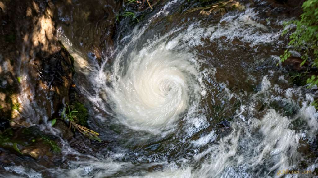
Hurricane Lowell strengthens to Category 5
Goldlaner.com – Hurricane Lowell strengthens to Category 5, and Hawaii’s western islands are now on full alert. Governor Josh Green signed a statewide emergency declaration Thursday, authorizing National Guard activation and unlocking state-level resources. By Friday evening local time, the National Hurricane Center reported sustained winds above 160 mph at the storm’s core. Forecasters project the system will shed intensity to roughly Category 3 before reaching the island chain later this week, yet even that diminished strength is sufficient to generate hazardous surf, coastal flooding, and powerful rip currents along exposed shorelines.
The stakes are heightened because the islands are still repairing damage from two earlier tropical systems. Hurricane Lala delivered multiple feet of rain to the Big Island in mid-August, triggering widespread and severe flooding. Tropical Storm Moke followed in late August with additional rainfall to the same region, though its far lower intensity produced comparatively modest impacts. With a third system now approaching, cumulative strain on drainage infrastructure, road networks, and public morale has pushed state officials into maximum-readiness posture.
“Our state is still recovering from Lala, and we are not waiting for another storm to get close before preparing,” Green said in a news release.
Track Uncertainty and the Weekend Turn
The storm’s precise path remains the dominant variable. Lowell currently sits more than 500 miles south of the islands and is tracking westward, but forecasters anticipate a sharp northward bend this weekend, driven by an upper-level low-pressure feature well to the north. How that high-altitude system interacts with the hurricane’s circulation will dictate both the timing of the turn and how closely the center passes Niihau and Kauai.
The National Hurricane Center’s official cone places the storm’s center roughly 150 miles west of Niihau or 190 miles west of Kauai from late Monday afternoon through Monday night. Forecasters have flagged below-average confidence in that line because the critical steering interaction has not yet occurred. Ensemble model groups span a wide spectrum: at one extreme, a direct landfall on Kauai or even Oahu with major-hurricane-force winds; at the other, a track more than 500 miles west of Niihau producing little beyond slightly elevated surf and scattered showers. An eastward shift of fewer than 100 miles from the current forecast line would place the islands squarely in the path of a potential major hurricane.
Confidence in the track is expected to sharpen considerably once the northward turn completes over the weekend. Until then, residents are advised to plan around the worst-case scenario while monitoring official updates.
Island-Level Preparations and Supply Guidance
Kauai County crews have begun clearing drainage channels and pre-positioning equipment in historically flood-prone neighborhoods. At least two state parks on the island have closed their camping areas, and state land and natural resources personnel were scheduled to notify any remaining campers on Friday that they must vacate immediately. Six high-water vehicles have been staged on Kauai to support evacuation and rescue operations should coastal flooding become severe.
Statewide, officials have urged residents to stock at least 14 days’ worth of food, water, medications, and other essentials before the system arrives. That recommendation reflects both the duration of potential impacts and the logistical difficulty of resupplying remote communities once roads and airports close.
El Niño and a Stacked-Up Pacific Season
The broader backdrop is a Pacific basin supercharged by El Niño conditions, which shift the tropical Pacific’s warm-water pool eastward and extend the active hurricane season well into autumn. The result is a higher frequency of strong tropical systems forming in the central and eastern Pacific, many of which can be steered toward the Hawaiian islands by mid-latitude weather patterns.
“This is a serious storm season,” Green said at a Friday news conference, noting his state is likely to face additional threatening tropical systems in the coming weeks. “We’ve got multiple storms because of El Niño that are stacking up – we’re told that’s what the fall is going to be like.”
For a small island chain with limited infrastructure redundancy, back-to-back tropical threats of this magnitude compound recovery costs and stretch emergency-management capacity well beyond normal seasonal expectations.
Frequently Asked Questions
When is Hurricane Lowell expected to reach the Hawaiian islands?
Forecasters project the system will weaken to roughly Category 3 strength before nearing the island chain later this week. The exact timing depends on the northward turn expected over the weekend, which has not yet occurred.
What should residents do right now?
Officials recommend stocking at least 14 days’ worth of food, water, medications, and other essentials. Residents in coastal or flood-prone areas should monitor local advisories, secure outdoor items, and identify evacuation routes in advance.
Why is the forecast track uncertain?
The critical steering interaction between the hurricane and an upper-level low-pressure feature has not yet taken place. Until the storm completes its northward turn over the weekend, ensemble models continue to spread across a wide range of possible paths, from a direct landfall to a track hundreds of miles west of the islands.
How does El Niño affect this season?
El Niño shifts the Pacific’s warm-water pool eastward, increasing the frequency of strong tropical systems in the central and eastern basin. Governor Green has warned that multiple storms are “stacking up” for the fall, meaning additional threats are likely in the coming weeks.