
Flash Flood Risk Rises Across the Northeast
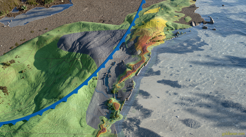
Goldlaner.com – A fast-moving cold front sweeping down the East Coast on Thursday is pushing flash flood risk increases in New York City and the broader mid-Atlantic corridor to their highest level in recent memory. More than 25 million residents from southwest Connecticut through northern Delaware now sit under active flood watches, and evening commuters along the I-95 corridor face the very real prospect of submerged underpasses, stalled transit, and water pooling on arterial roads within hours.
Why the Threat Level Jumped
The Weather Prediction Center escalated its rainfall-flooding outlook from Level 2 to Level 3 on a four-point scale for New York City, parts of New Jersey, and eastern Pennsylvania including Philadelphia on Thursday afternoon. The agency’s advisory was blunt:
“Numerous instances of flash flooding are likely.”
A Level 3 call means multiple discrete events across a wide area rather than one or two isolated pockets. For dense urban grids, that distinction is critical — drainage mains, storm sewers, and roadway grading all get stressed simultaneously instead of at a single vulnerable intersection.
The front had already announced itself earlier in the day. Central Ohio logged flash flooding as early as Thursday morning, with multiple water rescues and road closures documented near Columbus. Meteorologists treated those events as a live preview of what the same system would unleash once it crossed into the impervious, high-density terrain of the mid-Atlantic and New York metro areas.
What the Storm Cells Will Deliver
Individual cells are expected to be short-lived but extraordinarily intense, dumping rain at rates of one to three inches per hour — a pace that overwhelms virtually every urban drainage network in the region within minutes. Most points along the corridor will accumulate one to two inches total. Locations caught in the path of successive cells, or those struck by the most concentrated downpours, could see three to five inches fall in a matter of hours.
New York’s structural vulnerability compounds the meteorological threat. Much of the city’s sewer infrastructure dates to the late 19th and early 20th centuries and was engineered to convey roughly 1.75 inches of rainfall per hour before capacity is exceeded. Once a storm cell breaches that threshold — and Thursday’s cells are forecast to do so repeatedly — water backs up into streets, subway entrances, and basements, particularly in parts of Queens, Brooklyn, and the Bronx where combined sewers discharge into the East River and tidal creeks. The late-afternoon and evening rush will coincide with peak cell intensity, making transit delays, station closures, and roadway shutdowns all plausible outcomes.
A Warming Atmosphere and a Widening Hazard
The physics behind the intensifying trend is well established. Each degree Celsius of greenhouse-gas-driven warming raises the atmosphere’s water-vapor capacity by roughly seven percent. When a cold front forces that moisture-laden air to rise and condense, the result is a downpour of greater intensity and sharper localization than earlier decades produced. Events once classified as once-in-a-decade extremes are appearing with increasing regularity, placing sustained pressure on infrastructure designed around older, gentler climatology.
Not every hazard Thursday brings is hydrological. Several storms are expected to intensify enough to generate damaging wind gusts and scattered hail across much of the same zone. Wind damage will be the most geographically widespread threat, particularly across central and southern New Jersey, the Philadelphia metropolitan area, Delaware, and eastern Maryland, with the strongest gusts capable of toppling trees onto homes and power lines.
Frequently Asked Questions
What should drivers do if water begins pooling on the roadway? Turn around and find an alternate route. Most flash-flood deaths involve vehicles stalled in moving water; even six inches of current can float a standard car. Avoid underpasses and low-lying overpasses entirely during peak cell passage.
How long will the worst rainfall last? Individual cells typically pass through a given location in 15 to 40 minutes, but successive cells can keep a neighborhood under heavy rain for two to four hours. Plan to stay indoors or in a safe location during the late-afternoon and evening window.
Will subway service be affected? Combined-sewer overloads in Queens, Brooklyn, and the Bronx can force station closures and line delays. Check MTA service alerts before heading out, and allow extra travel time.
Where can I track the storm in real time? The Weather Prediction Center’s Level 3 advisory and the National Weather Service’s New York office issue rolling updates. Local emergency-management pages for NYC, Philadelphia, and New Jersey also post shelter and road-closure information as conditions evolve.